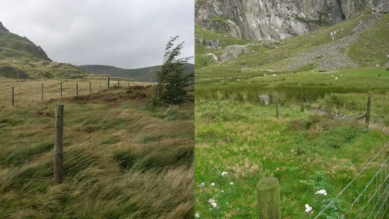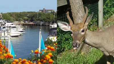
Fire Island Pines and a deer walking around Fire Island Pines. Credits: Wikimedia Commons
Barrier islands depend on dunes and vegetation to protect their interiors from waves and storm surge. When a powerful storm washes sand across the dunes, it can remove much of the plant cover that holds the landscape together. Fire Island, a barrier island off the south shore of Long Island, New York, offered scientists a chance to study how vegetation recovers after a major storm.
After Hurricane Sandy struck on October 29, 2012, researchers examined damaged areas in the Otis Pike Fire Island High Dune Wilderness Area. Before the hurricane, foredunes in the study area stood between 4 and 15 meters high. The National Park Service says the breach has shifted over time but remained relatively stable since 2013. The study estimated local use at an average of about 27 deer per hectare, compared with long-term area-wide estimates of 0.25 to 0.40 deer per hectare. The researchers set up 61 permanent plots across the nine overwash fans in spring 2013. The fences were about 1.5 meters high and were buried approximately 30 centimetres into the sand to prevent deer from getting underneath. Researchers surveyed the plots in September 2015 and 2016, recording plant cover and the number of species present. In 2015, vegetation covered an average of 58.2 per cent of fenced plots, compared with 33.2 per cent of unfenced plots. In 2016, cover reached 66 per cent inside the fences and 48.6 per cent outside. American beachgrass accounted for between 87 and 96 per cent of the vegetation cover. Researchers recorded 12 plant species across the permanent plots, although individual plots usually contained four or fewer species. A broader assessment recorded 29 plant species across the overwash fans during surveys in 2015 and 2016. That figure does not contradict the 12 species in the permanent plot study: the wider assessment covered more survey locations and methods than only the experimental plots.
The experiment therefore found that excluding deer was associated with greater plant cover and species richness in the monitored plots. The storm left nine overwash fans, where surge carried sand inland and removed much of the existing vegetation and foredunes. Sandy also opened a channel at Old Inlet, connecting the ocean and Great South Bay. The park service’s account of the Old Inlet breach explains how storms and moving sediment continue to reshape this part of the island. Trail camera monitoring suggested that deer used the recovering overwash fans much more heavily than the wider wilderness area. This was a local estimate for the small study areas, not a count of the entire island’s herd. The study in AoB Plants reports the method and comparison. Some plots were surrounded by wire fences that deer could not enter, while nearby comparison plots remained open. The results showed a clear difference in plant cover in both survey years. Fenced plots also held a greater variety of species than open plots. The report also examined sea beach amaranth, a federally threatened plant. Plants left outside protective fences were often heavily browsed by deer and died before producing seeds. The USGS report on deer browsing and vegetation recovery describes these wider findings. It did not show that deer were the only factor shaping recovery, or that fencing alone could restore every damaged dune. Storms, shifting sand, drought and the gradual return of different plant species all influenced the landscape. For barrier islands such as Fire Island, the findings underline the role of vegetation in rebuilding dunes after severe storms and the importance of monitoring how those plants recover.