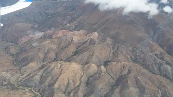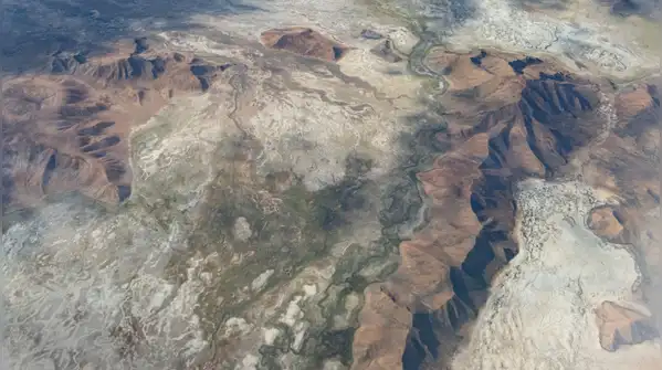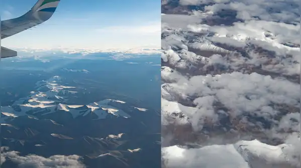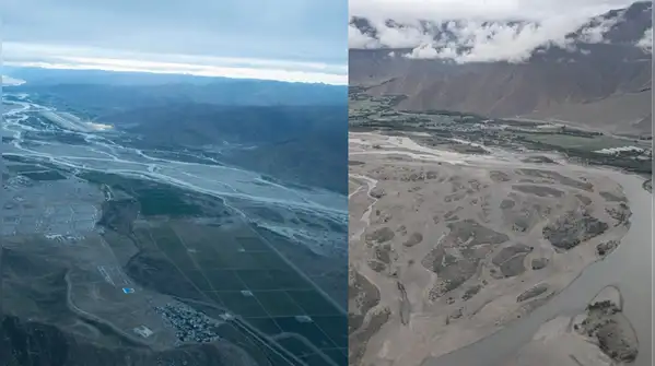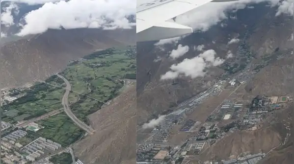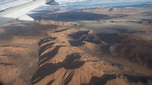
Its average elevation exceeds 4,500 metres (14,800 feet) above sea level, giving it the sobriquet of ‘the roof of the world’. Tibet is by far the highest plateau in the world. Across the plateau, mountain ranges are spread out, rounded and disconnected, separated by flat plains and valleys
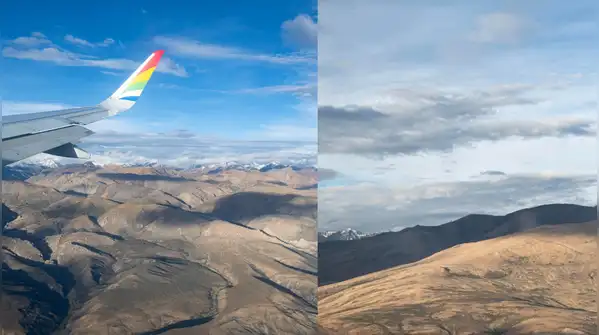
The mountains and high-altitude terrain of Tibet primarily feature thin, cold-adapted alpine soils and complex tectonic rock formations born from the collision of the Indian and Eurasian plates roughly 50-60 million years ago Just like in Ladakh, Tibet’s mountains are multi-coloured at place — a result of mineral-rich sedimentary rock layers reacting to millions of years of tectonic pressure, oxidation and weathering. The entire high mountain Asia region — which includes the Tibetan Plateau and surrounding ranges — stores roughly 7,000 cubic km of ice volume, acting as the world’s largest freshwater reserve outside the polar regions. Tibet alone boasts around 28,000 sq km of glaciers across the plateau. That’s why avalanches, glacial outbursts and glacial collapses in Tibet directly impact downstream countries, as the Aug 26 disaster showed.
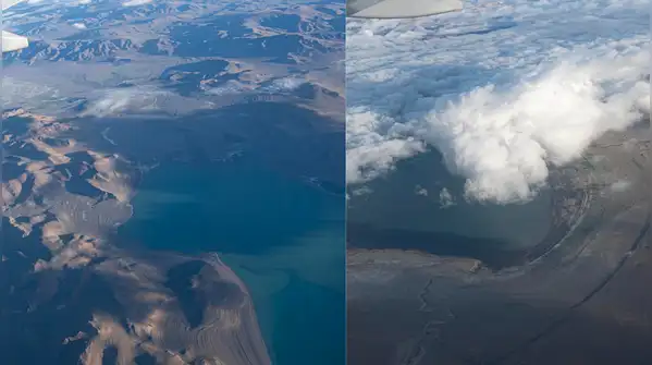
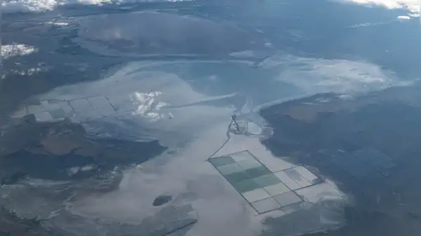
Since there is very little vegetation to block the view, the vivid patterns are perfectly visible Melting ice and water create variegated patterns of various colours when viewed from above. For a region generally known to be dry, Tibet holds an immense amount of water Some of this water is stored in lakes. The country is dotted with large and small lakes, generally salt or alkaline, and intersected by streams. For Indians, the most well-known of these is the holy Mansarovar (not featured here), which is a sweet water lake. Many of these lakes have high salt content. These were formed when ancient marine basins were pushed upward by tectonic plate movements, enclosing plateau basins and preventing water from draining out. These lakes have no outflow rivers to flush out minerals. Meltwater and rain bring tiny amounts of minerals into the basins, and strong evaporation leaves the salt behind permanently. As in the picture, salt is harvested and farmed from briny lake beds and seasonal salt crusts that have been gathered for centuries A far greater amount of water in Tibet is stored as ice in glaciers along snow-capped mountains. From the lofty Tibet plateau, these glaciers and highland lakes flow down as streams and rivers into India, Nepal, other parts of China and beyond. Some of the extensive infrastructure China has built in Tibet is also vulnerable in a warming world where the odds of hydrological disasters in ecologically fragile regions rise.