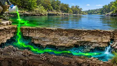
Representative image of fluorescein tracing the underground movement of water. Image Credits: ChatGPT.
According to a 2017 technical report by The Meadows Centre for Water and the Environment at Texas State University, streamflow gain-and-loss studies had shown that the Pedernales River was generally a gaining stream. Still, the 2016 survey identified a losing reach upstream of Pedernales Falls State Park, followed by significant gains downstream. The 2017 dye-tracing experiment subsequently confirmed that this underground diversion of river water mainly supplied the spring at the base of the falls. On August 21, 2017, the scientists combined three pounds of a powdered form of fluorescein dye that contained 75% dye by weight and mixed it with the river water. This combination was released into the Pedernales stream above the suspected losing feature around 3 pm.
The findings suggested that water was leaving the river through underground recharge features before returning further downstream. For the purpose of testing the hypothesis, scientists working at The Meadows Centre for Water and the Environment, along with partnering organisations, took advantage of one of the most important methods of hydrogeology, which is the process of dye tracing. It is critical to note that natural substances, particulate matter and even man-made substances have the capability of giving off fluorescence that might end up being misidentified as the tracer.
Earlier work by geologist Gunnar Brune, along with observations from long-time residents, had pointed to a swallet, or sink, near the remains of the old Robinson ranch house as the likely point where river water entered the subsurface. Research had already been carried out in this area for one week before the experiment took place.
The 2017 Texas State University Meadows Centre technical report documented the result in about 15.5 hours. As noted by the Meadows Centre for Water and the Environment, the suspected swallet and the spring were about 2.4 miles apart, providing strong evidence that river water reached the spring through the subsurface. By dividing 2.4 miles by 15.5 hours, we get 0.15 miles per hour, or 250 meters per hour. The river flows for more than 100 miles into the Colorado River and contributes to Lake Travis, a major water source in the region. The study conducted in 2017 is not just an example of a geological phenomenon.
Because fluorescent dyes can reveal underground connections that are difficult to map from the surface, this technique is widely used in karst and fractured-rock environments. Because the measured distance is between the injection point and the detector, not the actual route the water took, it does not measure the speed through every underground conduit,. This is especially helpful during drought because, at times, the river and the aquifer beneath it can be closely linked.
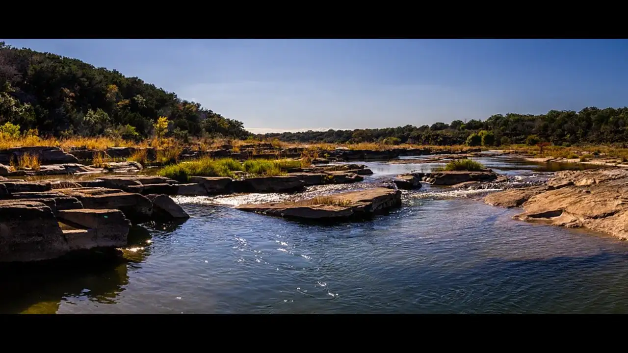
After being released, fluorescein dye was observed in the spring after it was injected into the river, indicating a hydraulic link between the two bodies of water. The charcoal samplers were set in place while the field fluorimeter was set up by the spring. Research published in Hydrogeology Journal describes dye tracing as a classic hydrogeological technique for investigating surface-water and groundwater flow, including underground flow paths and water-transit times in karst systems. In the Pedernales experiment, the dye behaved as researchers expected. This discovery not only provided an answer to why a certain phenomenon occurred but also shed light on the reasons for another seemingly inexplicable characteristic of the river. Instead of being absorbed into the ground, some of the water from the Pedernales was undergoing an underground journey. That geological setting also plays a significant role, as the Marble Falls Formation contains fractures and openings capable of allowing water to move underground. The study report notes that the spring’s source was mainly a diversion of river water through the swallet, rather than an entirely separate groundwater source. The travel time was also informative. However, it shows how fast water travels through underground conduits. River water seeped into the ground and resurfaced miles downstream from its entry point. The study demonstrated how rivers can seemingly disappear and reappear in the Texas Hill Country. Image Credits: Wikimedia Commons. The Pedernales River is not just a beautiful stream flowing through the Hill Country area. The river’s behaviour is closely tied to the springs and groundwater system beneath the surrounding land. The experiment can help identify areas where groundwater and surface water are directly connected. Sometimes a losing stretch of river can feed another stretch through springs.