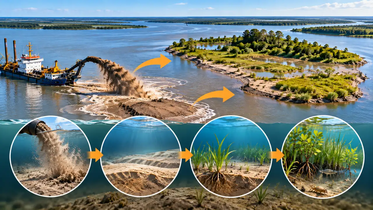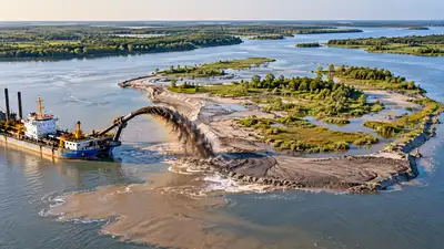
Image AI generated
Army Corps of Engineers’ strategic placement of dredged sediment, beginning in 2002. Beginning in 2002, between 0.5 million and 1.8 million cubic yards of sediment were placed at a mid-river site every one to three years, contributing to the development of an approximately 35-hectare island. The 2014 technical note also reported that the island’s growth reduced the river’s cross-sectional area and increased flow through the navigation channel, helping reduce shoaling and maintenance dredging requirements. Titled ‘Use of strategic placement of dredged sediments to support Horseshoe Island in the Atchafalaya River, Louisiana: A preliminary ecological survey ’, beginning in 2002, dredged sediment from Horseshoe Bend was placed in the mid-river open-water placement area, according to the study published in ResearchGate. The ERDC technical note states that between 0.5 million and 1.8 million cubic yards of sediment were placed every one to three years. The placement influenced and contributed to the development of an approximately 35-hectare island in the middle of the river. Mary Parish and identifies the island as approximately 35 hectares, with a small dredged-material mound immediately upriver of it. Earlier imagery from 1992 and 1998 is also presented alongside imagery showing the establishment and growth of the island after dredged-material placement began in 2002.
The Atchafalaya River in Louisiana contains an island built through the U.S. The US Army Engineer Research and Development Centre later surveyed the site to document its wetlands, vegetation, fauna and soils. The report describes the island as being supported by the strategic placement of dredged material. A figure in the technical note shows the study location in St. The project used the strategic placement of dredged sediment upriver of a naturally occurring island as part of an Engineering With Nature project. The technical note explains that the approach was intended to support island growth while producing environmental benefits compared with more conventional placement practices. It also describes the use of natural processes as a central part of the approach.
Image AI generated The ERDC’s preliminary ecological survey examined the island in August 2013. The field visits took place on 27 and 28 August 2013. The researchers also established 14 vegetation sample plots, including seven in forested and shrub-scrub environments and seven in aquatic-bed environments containing submerged and emergent vegetation.
As the island enlarged, it reduced the overall cross-sectional area of the river, according to the report. This increased flow through the navigation channel to velocities that were sufficient to reduce shoaling and the requirements for maintenance dredging. A later assessment cited in the supplied material also states that the formation of the island resulted from the reworking of dredged material placed upriver, creating a linear feature oriented perpendicular to the direction of river flow. Researchers conducted surveys to identify wetland types, quantify major vegetation communities, create a vegetation map, record observations of animal species and determine soil characteristics. The survey identified four distinct ecological communities within the study area. You use AI every day. Now get your AI Quotient. Take the AIQ test.