
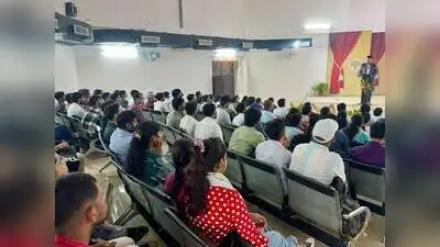
A two-day workshop on the use of open-source software and geospatial technology commenced at AU, on Wednesday
National coordinator of the FOSSEE project at IIT Bombay, Mohamed Kasim, announced several initiatives during the programme. Stay updated with the latest Prayagraj news. AU vice-chancellor Prof Sangita Srivastava was the chief guest, while dean Prof Syed Ibrahim Rizvi and dean, research and development, Prof Manish Srivastava were guests of honour on the occasion. Head of Geography department Prof A R Siddiqui and Nilesh Anand Srivastava of electronics and communication department were the conveners. Download the TOI App.
The workshop, jointly organised by AU and IIT-Bombay, was participated by more than 350 students and 50 teachers. Prayagraj : Allahabad University’s departments of Geography and Electronics and Communication Engineering have entered into a five-year knowledge partnership with IIT-Bombay under its FOSSEE programme, opening up opportunities for students to learn and work with free and open-source software and geospatial technologies. The announcement was made on the inaugural day of a two-day workshop on the use of open-source software and geospatial technology. Under the partnership, students will be able to access training and academic support in open-source tools and geospatial applications and will also get the opportunity to participate in FOSSEE-related internships and other activities. FOSSEE (Free/Libre and Open Source Software for Education) is an IIT Bombay project under National Mission on Education through Information and Communication Technology (NMEICT) of Ministry of Education. Its objective is to promote free and open-source software in education and research and reduce dependence on proprietary software. Its Geospatial FOSSEE programme promotes open-source GIS tools like QGIS and the use of Indian satellite and earth-observation data for solving real-life problems. Its National Geospatial Internship is open to students of recognised universities and colleges across India.