
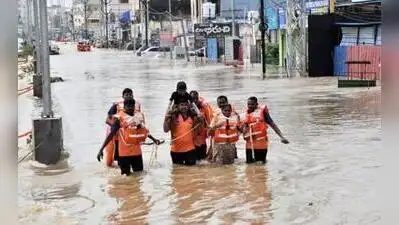
IITH researchers develop app to track urban flooding in real time
As a result, everything is often described as a flood — whether it is severe waterlogging, stagnation or even a small flood following heavy rain.
We wanted to develop a system that helps citizens understand what is actually happening,” said Satish Kumar Regonda, associate professor, civil engineering, IITH. Hyderabad: Researchers from the civil engineering department of the Indian Institute of Technology Hyderabad (IITH) have developed an urban flood information system to help city planners mitigate flooding and enable citizens to identify roads and areas to avoid during heavy rainfall. As part of the project, the researchers have also developed SnapFlood, an app for iOS and Android that allows citizens to report flooding incidents in their areas and track flood spots across the city in real time. “When a river exceeds a certain threshold, we call it a flood. There is also equipment such as rain gauges to measure rainfall depth. But in cities like Hyderabad, we cannot install sensors everywhere.
Because of rising water levels, but even here, there are situations where a threat can develop very quickly at a specific location. We therefore developed a model that can work across cities,” said Saipriya S R, a PhD scholar working on the project.
Researchers said the app can also provide information on the flooding history of an area, which could support urban planning and infrastructure development, such as helping authorities design drainage systems based on the rainfall patterns and flooding conditions of specific locations. “A city like Hyderabad may have a relatively good system in place, with police and other agencies sharing information during rains. That is where our flood model becomes important. Its importance increases further when we look beyond major metropolitan cities, where authorities may not have the required resources.
You Can Also Check: Gold Rate in Hyderabad | Silver Rate in Hyderabad | Bank Holidays in Hyderabad | Public Holidays in Hyderabad | Hyderabad AQI | Weather in Hyderabad | Petrol Price in Hyderabad | Diesel Price in Hyderabad | CNG Price in Hyderabad | LPG Price in Hyderabad Stay updated with the latest Hyderabad news. Download the TOI App.
By processing and combining this information, we can scientifically understand why flooding occurs, how it spreads and other related aspects,” said Satish, who also works in the climate change department at IITH. The app is designed to build a flood database through collective citizen participation, not only for cities in India but potentially across the world. Users can report conditions in their locality under categories such as no flood, water stagnation, minor flood, moderate flood and severe flood. The app also collects information on the depth of stagnant water and rainfall received during an event. The researchers’ approach relies on photographs and citizen-generated information rather than extensive sensor installation. “Instead of putting up sensors or instruments, we wanted to see whether we could accomplish the same task with the help of photographs by involving citizens from every street and collecting information about their locality. When people start sharing images, we can see in real time where flooding is occurring.