
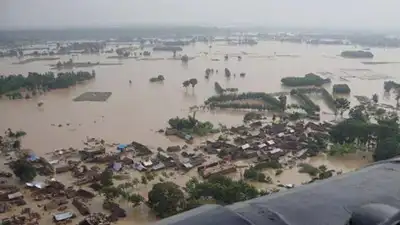
Rivers in Uttar Pradesh have reached or crossed danger levels at multiple monitoring stations
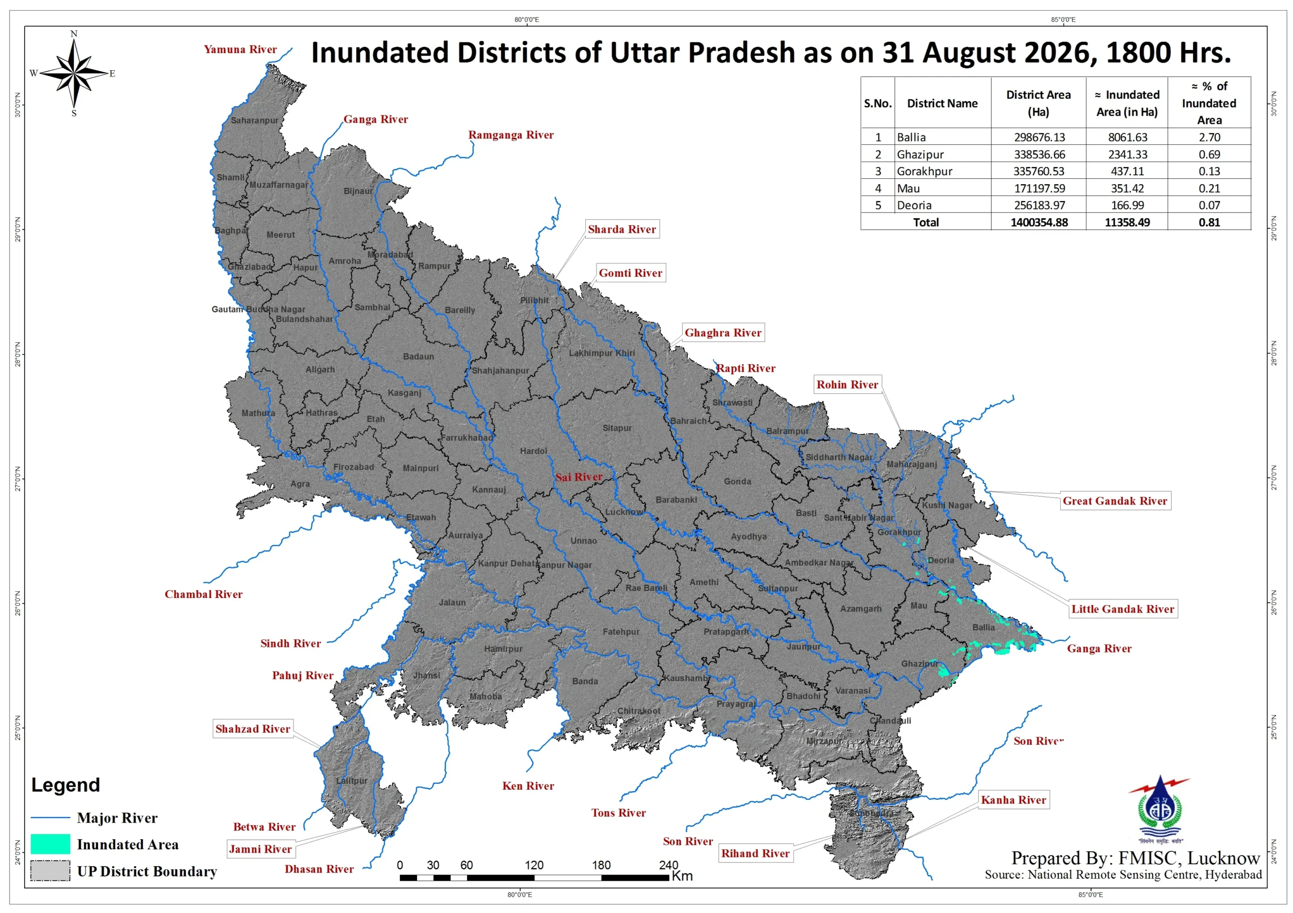
LUCKNOW: Rivers in Uttar Pradesh reached or crossed danger levels at several monitoring stations as satellite data showed inundation of 11,358.49 hectares across five districts, highlighting the spread of flood conditions in the state. The Ghaghra was also above the danger mark at Turtipar in Ballia, where it stood at 64.08 m against a danger level of 64.01 m. The station recorded 22 mm rainfall during the day. At Tendui in Varanasi district, the Varuna was flowing at 71.35 m against a danger level of 70.21 m. The station recorded 43 mm rainfall. At Saidpur in Ghazipur, the Ganga stood at 67.52 m against a danger level of 67.19 m. At the Ghazipur monitoring station, the river was flowing at 63.33 m, exceeding the danger level of 63.105 m. The level was rising and was forecast to reach 63.47 m by 8 am on Wednesday. At Narayanpur in Mirzapur, the Ganga was at 72.59 m, above the warning level of 71.41 metres but 21 cm below the danger mark of 72.41 m. The station recorded the highest rainfall among the locations shown in the CWC data, at 75.4 mm. The CWC data also recorded a high level at Chausa in neighbouring Bihar, where the Karamnasa was flowing at 61.86 m against a danger level of 60.39 m.
Its satellite-based assessment, prepared using RISAT-1A MRS SAR data analysed by the National Remote Sensing Centre, showed major inundation in Ballia and Ghazipur and minor inundation in Gorakhpur, Mau and Deoria by Monday evening. The FMISC clarified that the assessment includes riverine flooding, water accumulation in low-lying areas, rainfall-induced flooding and isolated waterlogged patches. The most pronounced river-level exceedances in eastern Uttar Pradesh were recorded along the Ganga and its tributaries. The reading is significant for the downstream flood situation in eastern Uttar Pradesh.
Pingback: Devastating monsoon rains in Uttar Pradesh have claimed 81 lives: The wider industry