
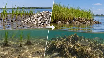
Image AI generated
In 2000, NOAA began transforming an eroding stretch of shoreline on Pivers Island, North Carolina, by planting about 500 square metres of smooth cordgrass and placing oyster shell offshore. The shoreline later faced two major tests from North Carolina hurricanes: Hurricane Irene in 2011 and Hurricane Florence in 2018. Image AI generated The first major documented hurricane test came in August 2011, when Hurricane Irene passed directly over Pivers Island.
The researchers also reported that living shorelines preserve connections between upland and nearshore habitats and can provide erosion control and habitat functions associated with natural wetlands.
According to the study published in PLOS ONE titled ‘ Living Shorelines: Coastal Resilience with a Blue Carbon Benefit ’, the Pivers Island East marsh was one of two transplanted sites created as living shoreline projects on Pivers Island. The project created a living shoreline designed to stabilise the coast while maintaining the natural connection between the marsh and nearby waters. Over time, the planted Spartina alterniflora spread and the oyster-shell mound developed into a live reef, turning the once-eroding beach into an established marsh habitat. As per NOAA assessments, the following provides a record of how the living shoreline performed during major hurricane events. The Pivers Island project also became part of longer-term research into living shorelines, including their ability to reduce erosion, support coastal habitats and accumulate sediment. Its development offers a documented case of a planted marsh and oyster reef repeated hurricane impacts. The planted cordgrass became the marsh component of the shoreline, while the oyster shell was positioned offshore. NOAA’s description states that the oyster reefs increased in height and developed into a living reef, while the planted marsh progressed seaward as sediment accumulated. The site also developed into habitat for fish and birds, while sediment trapped by the marsh contributed to improved water quality. The study records that the oyster-shell mound placed offshore had developed into a live reef, while the planted Spartina alterniflora marsh remained part of the shoreline system. NOAA’s assessment examined three shoreline sites, including the Pivers Island East marsh and oyster reef. The report states that Irene provided an opportunity to examine how the vegetated shorelines would perform under hurricane conditions.
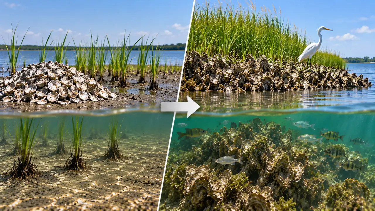
A second major test came in September 2018, when Hurricane Florence affected the North Carolina coast. The Pivers Island project therefore provides a documented example of a shoreline established with cordgrass and oyster shell that remained in place through major hurricane events in 2011 and 2018.
The living shoreline sites experienced substantially less erosion than nearby hardened shorelines during the storm, according to NOAA’s assessment. NOAA’s wider project record states that the living shoreline on the Centre for Coastal Fisheries and Habitat Research campus survived the direct impact of Hurricane Irene. The assessment also found that marshes with oyster reefs or other shoreline protection could trap sediment and maintain the shoreline during periods of high wind and wave action. NOAA’s Pivers Island living shoreline record includes before-and-after imagery showing the site before Florence and nine days after the hurricane struck. The images document the condition of the living shoreline following the storm. The NOAA Habitat Blueprint indicates that the site has performed well and that the lawn was eliminated. It also records that the marsh progressed seaward as sediment accumulated and that the oyster reefs increased in height and developed into a living reef. Catch the latest World News and Live updates. Download the TOI app.