
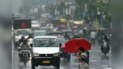
Pune: Rain and thunderstorm activity are set to return to parts of Maharashtra , including the rain-deficient Marathwada region, after a prolonged dry spell. A rain forecast was issued over the next few days, with yellow alerts in place for several districts.
The current weather activity over Maharashtra is linked to a trough extending from Marathwada to the southeast Arabian Sea, across interior Karnataka and Kerala, at an altitude of about 5.8km above mean sea level.
India Meteorological Department (IMD), however, said the activity should not be interpreted as a revival of widespread rainfall, as the showers are expected to remain highly localised. IMD scientist SD Sanap said the yellow alerts issued for the districts did not mean that the entire district would experience thunderstorms or associated rainfall. Heating during this period can trigger thunderstorm activity,” he said. Even within a district, rainfall can be uneven; it may occur in one taluka or village while an adjoining area receives no rain,” he said. Sanap said the trough was bringing moisture into the region, while local heating was also contributing to thunderstorm development. Sanap, however, said the system would not immediately bring widespread rainfall to Maharashtra. He said the current activity should not be described as a “rain revival”, as that would imply widespread rainfall. Parts of Pune city, for instance, may get thundershowers while other parts remain dry,” he said.
“These are localised events within districts and are quite common during the retreating phase of the monsoon. “It is not widespread. “At present, rainfall is highly localised and unevenly distributed.