
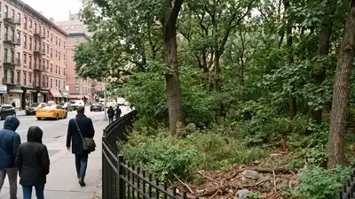
AI-generated representative image showing Time Landscape, a small recreated native woodland surrounded by the streets and buildings of Lower Manhattan. Credits – Gemini
Artist Alan Sonfist proposed the idea in 1965, according to NYC Parks . After studying New York’s flora, geology and history, he and local community members planted a 200 by 40 foot plot in 1978 with native trees, shrubs, wild grasses, flowers, rocks and earth. In 1998 the city commemorated it with an official historical marker, treating it as a living piece of the island’s heritage. Sonfist, born in 1946, first brought the idea to the city at 19, approaching the mayor, the Museum of Modern Art, the Metropolitan Museum and the Parks department. The thirteen years between 1965 and 1978 were not wasted. The planting finally went in under Mayor Ed Koch in 1978.
In Lower Manhattan, most people who pass the corner of LaGuardia Place and West Houston Street only look at it from the pavement. It is an enclosed patch of tall trees and thick undergrowth, with no lawn or benches, wedged between academic buildings, cafes and traffic. It is easy to mistake it for an abandoned lot, and that is part of its charm. It is actually a constructed woodland named Time Landscape. An empty block and a great idea The site was available for an unusual reason. In the 1950s, the tenements and townhomes on the east side of LaGuardia Place were condemned and demolished for a roadway that community protest later halted. The block sat vacant for decades. He imagined it as one of several recreated landscapes for the city. That one corner became one of the first pieces of environmental art in an American city, and it helped establish the idea that nature could be treated as a public monument. There was research and negotiation over many years, and the work involved local people as well as scientists. The result is less garden and more a carefully curated reproduction. AI-generated representative image showing the dense native-style woodland, shrubs, grasses and natural ground of Manhattan’s Time Landscape.
Credits – Gemini Reading the land before the city
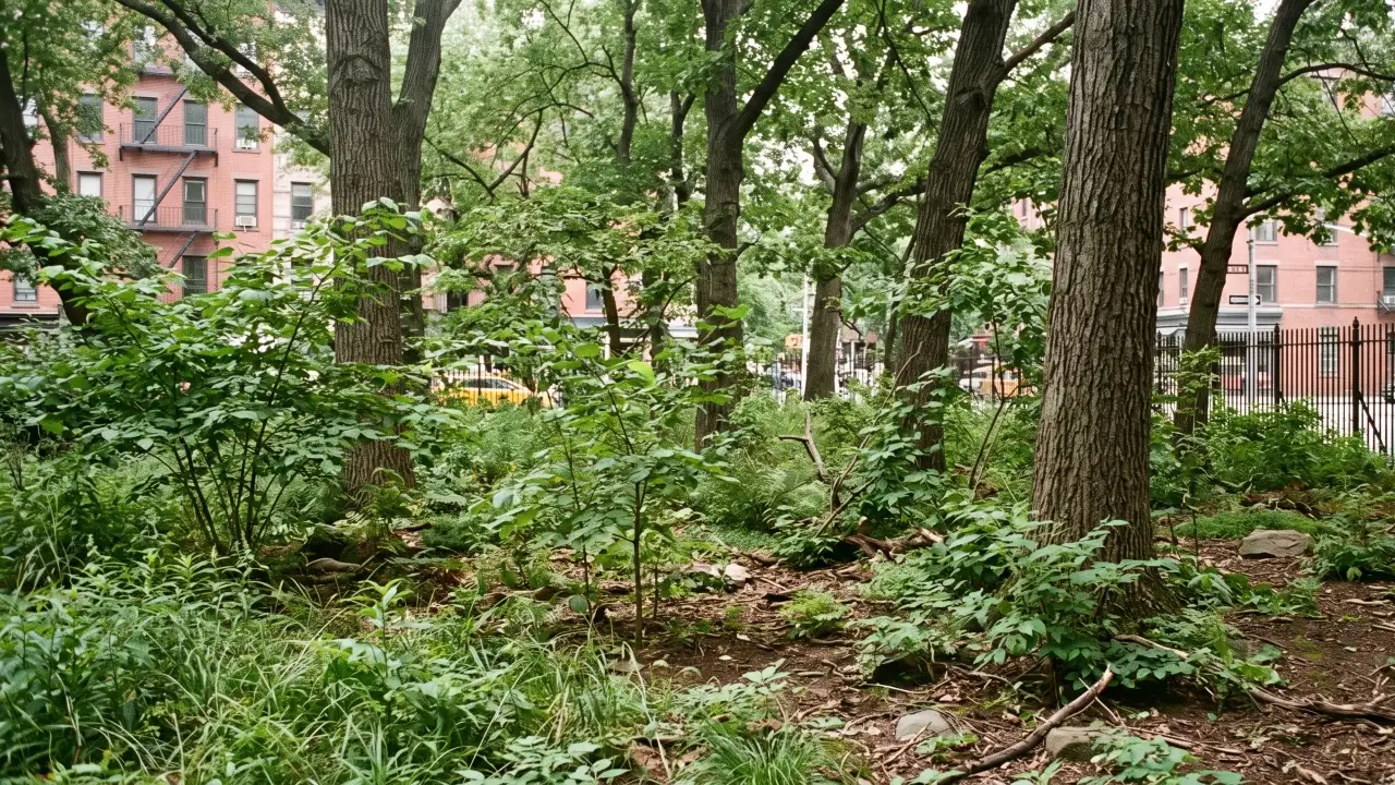
The Wildlife Conservation Society worked ten years on the Mannahatta Project, reconstructing the streams, ponds, coastlines, hills and forests of Manhattan just before Henry Hudson arrived in 1609. To build a forest that might have stood there, Sonfist had first to figure out what the area had looked like. To the west ran Minetta Brook, full of trout, and the area was a favourite spot for fishing and duck hunting. Later research has proved how rich that terrain was. The planting also portrays three stages of forest growth, from grasses and flowers to saplings to mature trees. The southern end is the youngest stage, with red cedar trees and hazelnut shrubs dressed in wildflowers. The centre holds a small grove of beech, a tree native to the region, grown from saplings taken from a Bronx forest that Sonfist knew as a child, and it stands among red cedar, black cherry and witch hazel. The north end is a mature oak woodland with white ash and American elm scattered through it. Parks describes the result as a slowly developing forest, so the plot keeps changing year by year. Readers who want to see the precolonial island for themselves can use the interactive Welikia map, which the New York Botanical Garden now maintains as the follow-up to the Mannahatta Project. You use AI every day. Now get your AI Quotient. Take the AIQ test.
Greenwich Village was previously marshland with sandy hills called Sapokanican by the Canarsie people and Zantberg by the Dutch. Over the following three and a half centuries, farms, homes, shops and factories replaced the marshland, and NYC Parks describes Time Landscape as a natural landmark of the seventeenth century and earlier. Time Landscape was a generation earlier but explores the same topic in living form.
This research continues today at the Welikia Project in the New York Botanical Garden, where visitors can explore an interactive map of the environment before the city. Today the plot sits on city land assigned to the Department of Transportation and is maintained by Parks under its Greenstreets programme, with help from volunteers, according to the NYC Parks page.