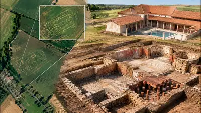
AI Representation: Kent volunteers used Google Earth crop marks to locate a Roman villa at Trosley, revealing a bathhouse, painted walls and underfloor heating. Image credits: Chatgpt
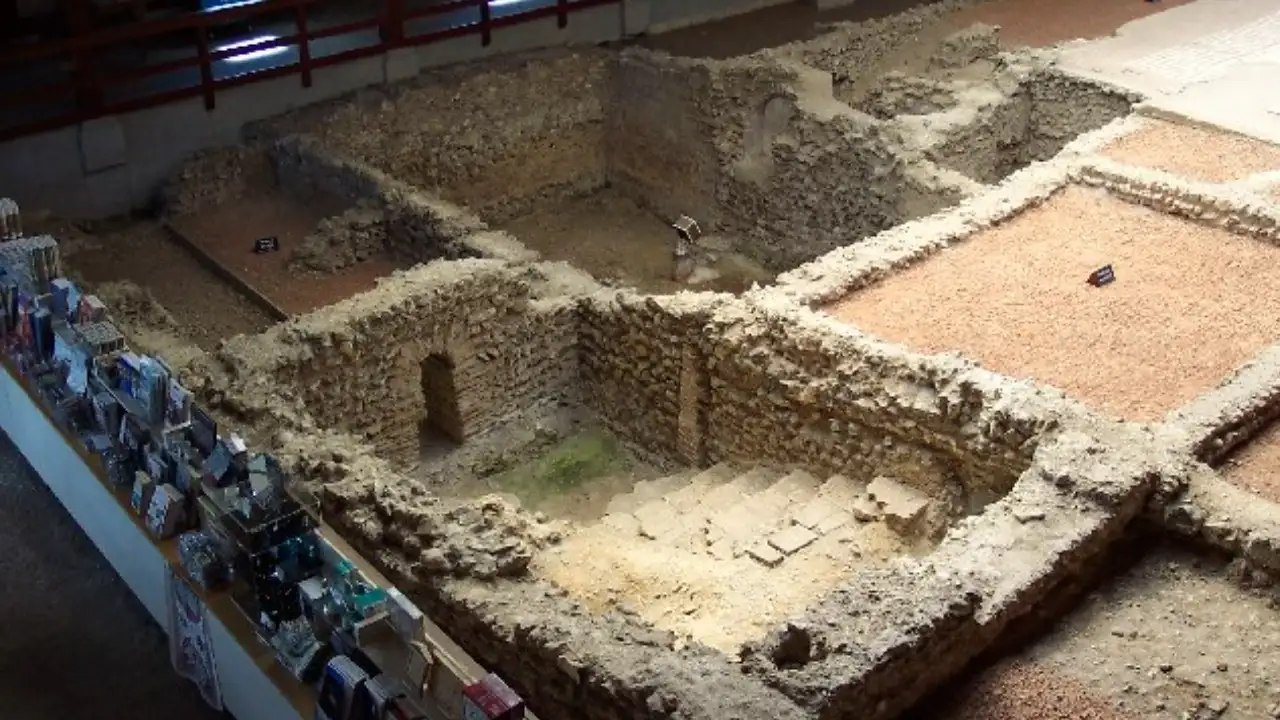
Crop marks in Google Earth images from 2007 and earlier finds of Roman building material The Kent Historic Environment Record entry titled Possible Romano-British building, Trottiscliffe describes a faint cropmark visible in Google Earth images from 2007 and in aerial photographs from 2008. The Society’s own report, Roman villa with bathhouse and hypocaust system revealed near Trosley , written by Jacob Scott, appeared in issue 119 (Winter 2022) of the Kent Archaeological Society magazine. Current Archaeology, as reported by The Past, says the Society first found the site in 2010 during a survey of Google Earth images, while the 2007 date given by the record and the Society refers to the date of the images that showed the cropmarks. In excess of 50 volunteers assisted with the September 2022 excavation directed by site director Richard Taylor, according to The Past in its write-up of issue 394 of Current Archaeology. Trench 1, which was dug on the main building, revealed foundations of the villa made of local ragstone and flint. The Kent Archaeological Society magazine report also mentions a quantity of multicoloured painted wall plaster from Trench 1, which likely adorned the villa’s interior walls.
Because crops can grow differently above buried walls and ditches, creating crop marks visible in satellite imagery even when they are not apparent at ground level, volunteers noticed a distinctive pattern in farmland near the village.
For many volunteers, it was a first excavation, Taylor told Artnet News and he pointed out that most archaeology in Kent is developer-led, which makes openings for volunteers uncommon. The same report says the Society first identified the villa complex from Google Earth images and that volunteers later helped excavate trenches over the main building and what is believed to be a bathhouse. The Kent Archaeological Society runs the ongoing Trosley Heritage Project, which Current Archaeology describes as a larger landscape project studying how Trosley has been inhabited over time. Part of this work is done at the desk, with members searching publicly available satellite imagery of the fields for signs of buried features. Kent’s Historic Environment Record provides the relevant heritage record. The Society later held a community excavation of the site, with residents working alongside the Society’s more experienced excavators and the dig also hosted school visits. The dig uncovered partial foundations of what may have been a high-status Roman villa, along with painted wall plaster and remains of the villa’s hypocaust system. The cropmark projections created by Chris Blair-Myers were used for trench placement. Third and fourth-century ceramics found at the site include local coarse wares, Oxfordshire wares and some Samian wares alongside several coins dating back to the 4th century. Archaeology magazine lists a fourth-century copper-alloy strap-end shaped like an amphora, a small Romano-British key and two fourth-century coins.
It describes how crop markings were spotted on Google Earth after a particularly dry period, which led to fieldwalking and test pits in the year before the excavation.